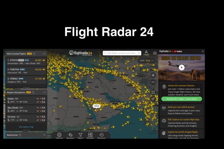
Flightradar24 is a real-time commercial flight tracking platform that displays aircraft locations on a live interactive global map. The service collects Automatic Dependent Surveillance–Broadcast (ADS-B) transponder data along with radar feeds and aviation databases to show flight routes, departure and arrival airports, aircraft type, speed, altitude, and historical flight paths. Users can click individual planes to view registration details, route history, and scheduled flight information.
For researchers, journalists, and open-source intelligence (OSINT) investigators, Flightradar24 serves as an accessible aviation monitoring tool. Unlike technical aviation systems, the interface is designed for easy use, allowing non-experts to follow aircraft movement, verify travel timelines, and correlate flights with known events. Investigators frequently use flight tracking to confirm whether individuals were present in certain locations, identify previously undisclosed travel, and analyze repeated routes between specific cities or private airfields.
The platform is especially useful when combined with public records searches and reporting. A researcher can observe an aircraft’s route, then cross-reference aircraft registration databases, corporate ownership filings, or news coverage to understand who may have been traveling and why. While commercial flights are the most visible, private and charter aircraft can also appear depending on available data sources.
Because aviation tracking relies on transponder broadcasts and available data feeds, it should be used as a corroborating research tool rather than definitive proof. Some aircraft block data or disable transmitters, and interpretation requires verification. Even so, flight tracking platforms provide rare time-stamped location data that helps investigators reconstruct movements and timelines.
In simple terms: it lets you see where planes actually went — not just where people claimed to be.