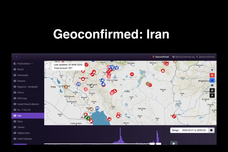
GeoConfirmed is an open-source intelligence (OSINT) verification project that analyzes photos, videos, and satellite imagery to confirm the location and authenticity of reported incidents. The Iran section focuses on geolocating events connected to military activity, strikes, protests, and regional security developments by matching visual evidence to real-world terrain and coordinates.
Instead of simply aggregating reports, the platform performs geolocation analysis. Investigators compare landmarks, shadows, terrain features, building layouts, and satellite imagery to determine whether a video or image was actually recorded where it claims. This process helps distinguish verified incidents from misinformation, recycled footage, or misattributed media. The site organizes findings into mapped entries and research threads so users can review the evidence and the reasoning behind each conclusion.
For journalists, researchers, and watchdog groups, verification matters as much as reporting. Modern conflicts generate enormous volumes of social media footage, but not all of it is reliable. Geolocation research allows analysts to confirm airstrikes, identify impact locations, verify weapon usage, and establish timelines based on visual evidence. When paired with satellite imagery, flight tracking, and official reporting, verification analysis can reconstruct events with surprising accuracy.
Because the project is analytical rather than a primary news source, its value lies in methodology and documentation. It demonstrates how independent researchers can confirm real-world events using publicly available material. For investigators, this type of work functions as evidence corroboration — helping determine whether a reported incident occurred, where it occurred, and when it likely happened.
In simple terms: GeoConfirmed doesn’t just show what was reported — it shows what can actually be proven.