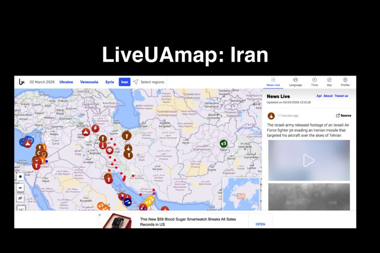
LiveUAMap’s Iran map is a real-time monitoring platform that tracks protests, security incidents, military activity, political unrest, and regional tensions involving Iran using a geolocated interactive map. Instead of relying only on traditional news coverage, the platform places reported events directly onto a map so users can see where developments are occurring and how they evolve geographically over time.
The site aggregates open-source reporting, official announcements, and publicly available media and organizes the information chronologically and spatially. This allows researchers, journalists, and analysts to follow developments as they happen, identify repeated incident locations, and observe escalation patterns such as protest waves, security responses, or cross-border activity.
For investigative research, map-based monitoring provides context that standard articles often cannot. Users can build timelines, compare events to sanctions actions, diplomatic statements, or regional conflicts, and evaluate whether developments are isolated incidents or part of a broader pattern. When paired with verified reporting, public records, and international coverage, monitoring maps help reconstruct sequences of events and understand cause-and-effect relationships.
Because the platform compiles open-source information, it should be used as a situational awareness and research tool rather than a single primary authority. Its strength is visualization and documentation — preserving fast-moving developments in a structured, searchable format that helps researchers know what to investigate next.
In plain terms: it lets you watch political unrest and regional tensions unfold geographically instead of trying to piece it together afterward.