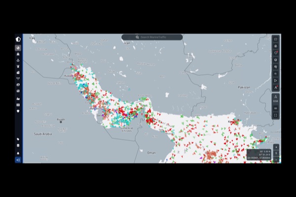
MarineTraffic live ship map is a global vessel tracking platform that uses the Automatic Identification System to provide near real time visibility into ship movements, routes, and maritime activity worldwide. The platform aggregates AIS signals transmitted by ships, which include critical data such as position, speed, destination, and vessel identity, and displays them on an interactive global map.
At its core, MarineTraffic is more than a ship tracker. It is a global logistics intelligence dashboard. Users can monitor port congestion, track cargo routes, analyze shipping patterns, and follow specific vessels over time. The system processes both dynamic data like speed and course and static data like vessel ownership and specifications, creating a layered view of how goods and resources move across the world.
The platform is widely used by journalists, researchers, supply chain analysts, and OSINT investigators to uncover patterns in global trade, sanctions evasion, and geopolitical movement. Because AIS data is publicly broadcast by ships via radio signals, tools like MarineTraffic transform that raw signal into something usable and visual.
For resistance and investigative work, MarineTraffic is especially powerful when paired with anomaly detection tools. You can track oil shipments, monitor military-adjacent logistics, observe unusual port behavior, and identify when vessels disappear or change patterns unexpectedly. It offers a baseline view of “normal” global movement, which is exactly what you need before you can spot what is abnormal.
This is not just a map. It is a window into global supply chains, power structures, and the physical movement of money and resources. If you are building investigations, following corruption trails, or trying to understand how the world actually functions beneath headlines, MarineTraffic is one of the most important entry-level tools you can use.