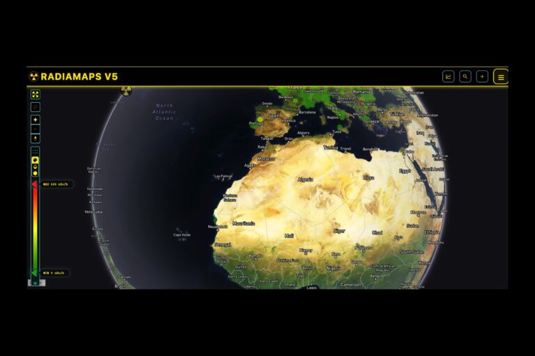
RadiaMaps is a crowdsourced global radiation mapping platform that allows users to upload and visualize environmental radiation readings in real time. The platform aggregates data collected from personal radiation detection devices, such as RadiaCode sensors, and displays it on an interactive world map using averaged geographic grid zones. This enables users to explore radiation levels across regions, track changes over time, and contribute to a shared dataset of environmental measurements.
RadiaMaps is designed as a community-driven data tool rather than an official safety system. The accuracy of its visualizations depends on the volume, quality, and calibration of user-submitted data, and the platform explicitly advises users to verify critical safety information through official sources.
For researchers, preparedness communities, and environmental monitoring advocates, RadiaMaps provides a decentralized way to track radiation patterns outside of government-controlled reporting systems. It is particularly useful for identifying anomalies, comparing regional data, and supporting independent analysis of environmental risk. The platform also emphasizes user privacy, with anonymized data contributing to aggregate readings while limiting exposure of individual tracking data.